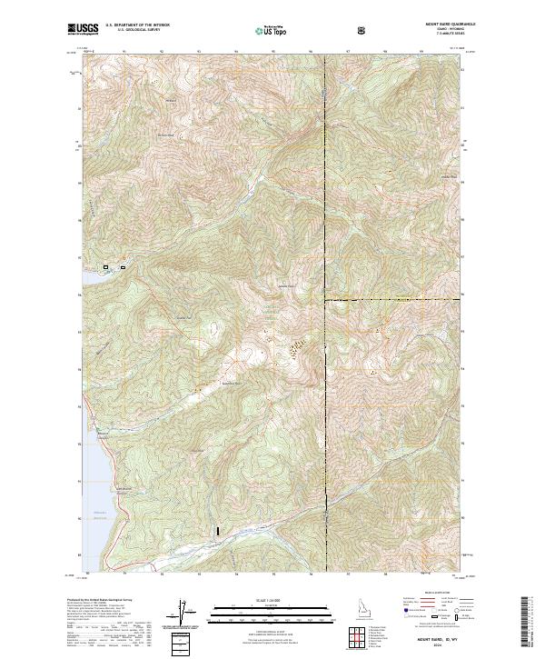
2024 Map of Mount Baird
USGS Topo · Published 2024About this map
Mt Baird and the towering summits of the Targhee National Forest dominate this landscape along the Idaho and Wyoming border. This high-altitude region is defined by deep drainages and ridges, where Big Elk Creek and Indian Creek carve through the mountain front toward the Palisades Reservoir in the southwest. The map detail highlights an extensive network of backcountry routes, including the Big Elk Creek Trl and Box Canyon Trl, which navigate the steep terrain between peaks like Elkhorn Peak and Needle Peak. The presence of named clearings such as Quaker Flat and Spaulding Basin suggests historical use of these alpine meadows for grazing or seasonal camps within the protected forest lands. This modern survey provides an exact look at the contemporary trail systems and water sources that have sustained movement through these mountains for generations.
Find a feature on this map
49 named features on this map. Tap any name to fly to it.
Don’t see what you’re looking for? This feature index may not catch every label — zoom into the map to look around manually.
Map Details
Editions of this 2024 Mount Baird Map
This is the sole edition of this map. No revisions or reprints were ever made.
Other maps of this area

1931 · Jackson
USGS Topo · 1:125,000

1932 · Irwin
USGS Topo · 1:96,000

1935 · Irwin
USGS Topo · 1:125,000

1935 · Jackson
USGS Topo · 1:125,000

1955 · Driggs
USGS Topo · 1:250,000

1958 · Driggs
USGS Topo · 1:250,000

1962 · Driggs
USGS Topo · 1:250,000

1963 · Teton Pass
USGS Topo · 1:24,000

1963 · Observation Peak
USGS Topo · 1:24,000

1963 · Ferry Peak
USGS Topo · 1:24,000