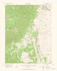
1948 Map of Mount Big Chief
USGS Topo · Published 1964About this map
Cheyenne Mountain dominates the landscape south of Colorado Springs, where the transition from high plains to the Front Range is defined by steep canyons and military installations. The Camp Carson Military Reservation occupies a massive portion of the eastern foothills, featuring the Camp Carson Hospital and a large Rifle Range at the base of the mountains. This mid-century survey captures the area before the era of major suburban expansion, focusing instead on ranching operations and mountain retreats.
Find a feature on this map
72 named features on this map. Tap any name to fly to it.
Don’t see what you’re looking for? This feature index may not catch every label — zoom into the map to look around manually.
Map Details
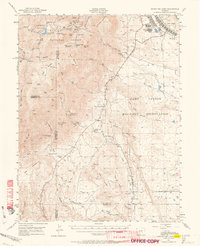
Editions of this 1948 Mount Big Chief Map
2 editions found
Other maps of this area

1889 · Canon City
USGS Topo · 1:125,000

1891 · Pueblo
USGS Topo · 1:125,000

1892 · Canon City
USGS Topo · 1:125,000

1893 · Colorado Springs
USGS Topo · 1:125,000

1894 · Pikes Peak
USGS Topo · 1:125,000

1894 · Pueblo
USGS Topo · 1:125,000

1896 · Pueblo
USGS Topo · 1:125,000

1897 · Pueblo
USGS Topo · 1:125,000

1901 · Pikes Peak
USGS Topo · 1:125,000

1901 · Pikes Peak
USGS Topo · 1:62,500