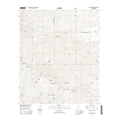
2014 Map of Mount Bigelow
USGS Topo · Published 2014About this map
The Santa Catalina Mountains dominate this 2014 survey, highlighting the specialized high-altitude settlements and recreational infrastructure within the Coronado National Forest. Small mountain enclaves like Soldier Camp, Whitetail, and Willow Canyon are depicted amidst a complex network of springs and canyons. The presence of Boy Scout Spring and Girl Scout Spring suggests a long history of youth organization activity in these peaks, while the Arizona National Scenic Trail traces along the western heights past Oracle Ridge and Dan Saddle.
Find a feature on this map
85 named features on this map. Tap any name to fly to it.
Don’t see what you’re looking for? This feature index may not catch every label — zoom into the map to look around manually.
Map Details
Editions of this 2014 Mount Bigelow Map
This is the sole edition of this map. No revisions or reprints were ever made.
Other maps of this area

1904 · Tucson
USGS Topo · 1:125,000

1905 · Tucson
USGS Topo · 1:125,000

1911 · Winkelman
USGS Topo · 1:125,000

1913 · Winkelman
USGS Topo · 1:125,000

1948 · Mammoth
USGS Topo · 1:62,500

1948 · Campo Bonito
USGS Topo · 1:24,000

1948 · Peppersauce Wash
USGS Topo · 1:24,000

1949 · Campo Bonito
USGS Topo · 1:24,000
1949 · Peppersauce Wash
USGS Topo · 1:24,000
1951 · Mammoth
USGS Topo · 1:62,500