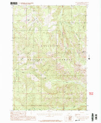
1988 Map of Mount Blackmore
USGS Topo · Published 1988About this map
Mount Blackmore rises as the central landmark of this high-elevation landscape in the late 1980s, anchoring a terrain defined by steep ridges and complex drainage systems. Located within the Gallatin National Forest, the area is characterized by numerous seasonal and perennial watercourses, including South Cottonwood Creek, Big Bear Creek, and Swan Creek. The map documents a rugged interior accessible primarily by a network of Pack Trails, emphasizing the wilderness character of the region during this period. Local place names like Telephone Ridge, Orchid Gulch, and Timber Butte suggest a history of early land use and geographical identification in these high mountain basins. The proximity of Big Bear Lake and specialized labels such as History Rock Creek point to specific points of interest for backcountry navigation and recreational use before more modern developments may have altered the trail systems or access points.
Find a feature on this map
20 named features on this map. Tap any name to fly to it.
Don’t see what you’re looking for? This feature index may not catch every label — zoom into the map to look around manually.
Map Details
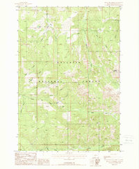
Editions of this 1988 Mount Blackmore Map
2 editions found
Other maps of this area

1888 · Three Forks
USGS Topo · 1:250,000

1891 · Livingston
USGS Topo · 1:250,000

1893 · Livingston
USGS Topo · 1:250,000

1894 · Three Forks
USGS Topo · 1:250,000

1895 · Three Forks
USGS Topo · 1:250,000

1947 · Bozeman
USGS Topo · 1:250,000

1948 · Bozeman
USGS Topo · 1:250,000

1951 · Bozeman Pass
USGS Topo · 1:62,500

1953 · Bozeman
USGS Topo · 1:62,500

1955 · Bozeman
USGS Topo · 1:250,000