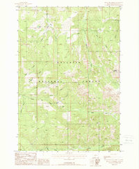
1988 Map of Mount Blackmore
USGS Topo · Published 1988About this map
Gallatin National Forest encompasses the high-altitude landscape shown here, dominated by the peak of Mount Blackmore. The terrain is defined by a dense network of drainage systems, including Cottonwood Creek, Big Bear Creek, and the uniquely named History Rock Creek. These waterways carve through the forest, creating prominent landmarks like Telephone Ridge and Timber Butte.
Find a feature on this map
20 named features on this map. Tap any name to fly to it.
Don’t see what you’re looking for? This feature index may not catch every label — zoom into the map to look around manually.
Map Details
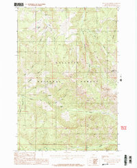
Editions of this 1988 Mount Blackmore Map
2 editions found
Other maps of this area

1888 · Three Forks
USGS Topo · 1:250,000

1891 · Livingston
USGS Topo · 1:250,000

1893 · Livingston
USGS Topo · 1:250,000

1894 · Three Forks
USGS Topo · 1:250,000

1895 · Three Forks
USGS Topo · 1:250,000

1947 · Bozeman
USGS Topo · 1:250,000

1948 · Bozeman
USGS Topo · 1:250,000

1951 · Bozeman Pass
USGS Topo · 1:62,500

1953 · Bozeman
USGS Topo · 1:62,500

1955 · Bozeman
USGS Topo · 1:250,000