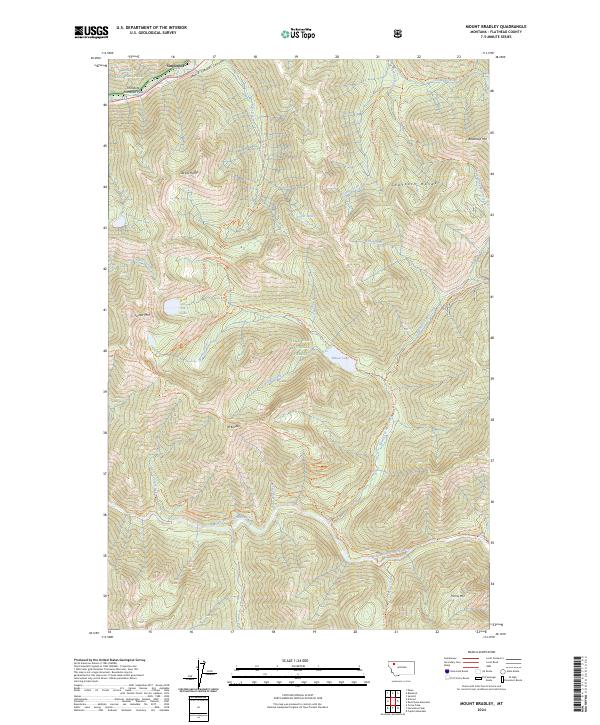
2024 Map of Mount Bradley
USGS Topo · Published 2024About this map
Glacier National Park meets the Flathead National Forest Great Bear Wilderness in this high-altitude corner of Flathead County. The landscape is dominated by the Sawtooth Range and notable peaks like Mt. Bradley and Forster Mtn. A complex network of backcountry trails, including the Giefer Creek Trl and Twenty-Five Mile Creek Trl, provides the primary access through these steep elevations. Historically significant corridors like Theodore Roosevelt Pass and John F Stevens Canyon frame the northern border. At lower elevations, the Middle Fork Flathead River flows through the south, designated as the Flathead Wild and Scenic River, where it is joined by numerous tributaries such as Lunch Creek and Castle Lake Creek.
Find a feature on this map
50 named features on this map. Tap any name to fly to it.
Don’t see what you’re looking for? This feature index may not catch every label — zoom into the map to look around manually.
Map Details
Editions of this 2024 Mount Bradley Map
This is the sole edition of this map. No revisions or reprints were ever made.
Other maps of this area

1913 · Marias Pass
USGS Topo · 1:125,000

1914 · Nyack
USGS Topo · 1:125,000

1958 · Red Plume Mountain
USGS Topo · 1:24,000

1958 · Capitol Mountain
USGS Topo · 1:24,000

1958 · Circus Peak
USGS Topo · 1:24,000

1958 · Nimrod
USGS Topo · 1:24,000

1958 · Mount Bradley
USGS Topo · 1:24,000

1958 · Horseshoe Peak
USGS Topo · 1:24,000

1960 · Cut Bank
USGS Topo · 1:250,000

1963 · Cut Bank
USGS Topo · 1:250,000