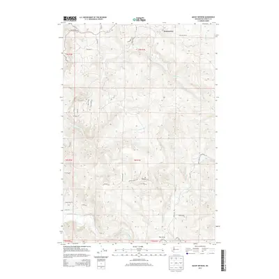
2013 Map of Mount Brynion
USGS Topo · Published 2013About this map
Mt Brynion rises as a central landmark in this portion of Cowlitz County, where timber-related infrastructure and rural homesteads define the landscape. To the north, the small settlement of Headquarters serves as a hub near Sucker Cr and Ostrander Cr, while Rose Valley occupies the southern reaches near the winding Coweeman River. The topographic detail reveals a network of roads that follow the ridges and valleys, including Schoolhouse Rd and Hamilton Heights Rd, indicating the historical development of these upland communities.
Find a feature on this map
41 named features on this map. Tap any name to fly to it.
Don’t see what you’re looking for? This feature index may not catch every label — zoom into the map to look around manually.
Map Details
Editions of this 2013 Mount Brynion Map
This is the sole edition of this map. No revisions or reprints were ever made.
Other maps of this area
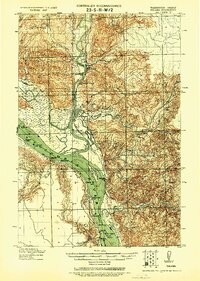
1921 · Kalama
USGS Topo · 1:62,500
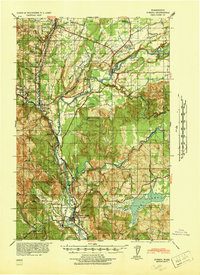
1941 · Olequa
USGS Topo · 1:62,500
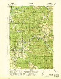
1942 · Toutle
USGS Topo · 1:62,500
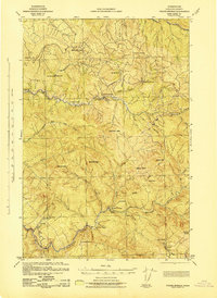
1943 · Pigeon Springs
USGS Topo · 1:62,500

1953 · Hoquiam
USGS Topo · 1:250,000
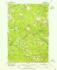
1953 · Toutle
USGS Topo · 1:62,500
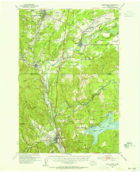
1953 · Castle Rock
USGS Topo · 1:62,500
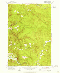
1953 · Mt. Brynion
USGS Topo · 1:24,000
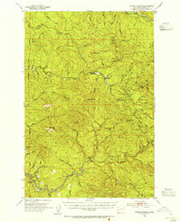
1953 · Pigeon Springs
USGS Topo · 1:62,500
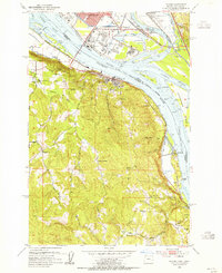
1953 · Rainier
USGS Topo · 1:24,000