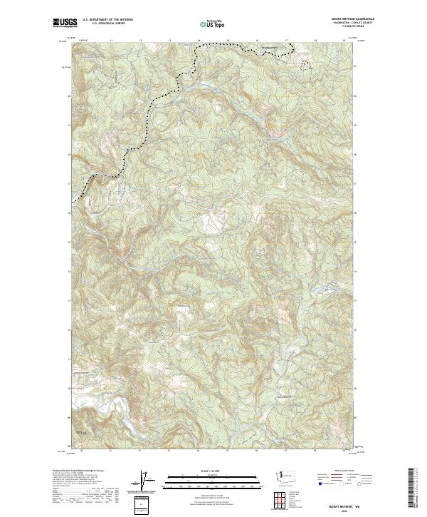
2023 Map of Mount Brynion
USGS Topo · Published 2023About this map
The northern edge of Kelso serves as an anchor in this landscape, where the Coweeman River flows through the southern terrain. This area of Cowlitz County is defined by its industrial forest history, notably seen in the network of timber access routes such as Logging 1600 Rd and Weyerhaeuser Rd. Rising prominently between the river and the creek drainages is Mt Brynion, a central geographic feature that overlooks a complex system of local roads and rural residential lanes. Moving north, the map reveals the settlement of Headquarters at the junction of Headquarters Rd and S Silver Lake Rd. The terrain is deeply carved by waterways including Ostrander Creek and its South Fork Ostrander Creek, illustrating the drainage patterns that shaped the local topography before reaching the larger river systems to the west.
Find a feature on this map
50 named features on this map. Tap any name to fly to it.
Don’t see what you’re looking for? This feature index may not catch every label — zoom into the map to look around manually.
Map Details
Editions of this 2023 Mount Brynion Map
This is the sole edition of this map. No revisions or reprints were ever made.
Other maps of this area

1921 · Kalama
USGS Topo · 1:62,500

1941 · Olequa
USGS Topo · 1:62,500

1942 · Toutle
USGS Topo · 1:62,500

1943 · Pigeon Springs
USGS Topo · 1:62,500

1953 · Hoquiam
USGS Topo · 1:250,000

1953 · Toutle
USGS Topo · 1:62,500

1953 · Castle Rock
USGS Topo · 1:62,500

1953 · Mt. Brynion
USGS Topo · 1:24,000

1953 · Pigeon Springs
USGS Topo · 1:62,500

1953 · Rainier
USGS Topo · 1:24,000