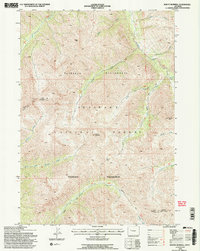
1991 Map of Mount Burwell
USGS Topo · Published 1997About this map
Mount Burwell stands as the central anchor of this high-elevation terrain within the Shoshone National Forest during the early 1990s. The landscape is defined by the headwaters of numerous waterways, including the Greybull River and the Wiggins Fork, which cut through the protected expanses of the Washakie Wilderness. This survey demonstrates the intricate drainage patterns of the region, where numerous named branches like Venus Creek, Mabel Creek, and Last Creek descend from the ridges.
Find a feature on this map
24 named features on this map. Tap any name to fly to it.
Don’t see what you’re looking for? This feature index may not catch every label — zoom into the map to look around manually.
Map Details
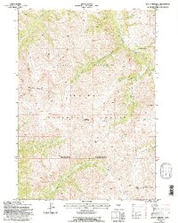
Editions of this 1991 Mount Burwell Map
2 editions found
Other maps of this area

1893 · Ishawooa
USGS Topo · 1:125,000

1895 · Ishawooa
USGS Topo · 1:125,000

1899 · Ishawooa
USGS Topo · 1:125,000

1904 · Kirwin
USGS Topo · 1:125,000

1905 · Younts Peak
USGS Topo · 1:125,000

1906 · Kirwin
USGS Topo · 1:125,000

1907 · Younts Peak
USGS Topo · 1:125,000

1955 · Cody
USGS Topo · 1:250,000

1955 · Thermopolis
USGS Topo · 1:250,000

1956 · Snow Lake
USGS Topo · 1:24,000