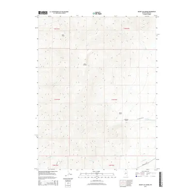
2015 Map of Mount Callaghan
USGS Topo · Published 2015About this map
Mount Callaghan dominates this Nevada landscape, where high-elevation drainage patterns define the territory within Lander County. The map shows a series of steep canyons and creek systems, including Boone Canyon to the north and the expansive Callaghan Canyon to the south. Water sources are critical features in this arid environment, evidenced by the presence of Cottonwood Spring and numerous seasonal flows such as Skull Cr and Boone Cr. Transport across the terrain is limited to established routes like Callaghan Creek Rd and Grass Valley Rd at the southern edge, while Italian Rd provides access toward the Italian Cr drainage. This 2015 survey details the complex topography of the Toiyabe Range, tracking the descent from the summit through Charlie Canyon into the valley floors below.
Find a feature on this map
23 named features on this map. Tap any name to fly to it.
Don’t see what you’re looking for? This feature index may not catch every label — zoom into the map to look around manually.
Map Details
Editions of this 2015 Mount Callaghan Map
This is the sole edition of this map. No revisions or reprints were ever made.
Other maps of this area

1926 · Roberts Mountains
USGS Topo · 1:250,000

1929 · Roberts Mountains
USGS Topo · 1:250,000

1955 · Millett
USGS Topo · 1:250,000

1956 · Mount Callaghan
USGS Topo · 1:62,500

1956 · Hall Creek
USGS Topo · 1:62,500

1959 · Millett
USGS Topo · 1:250,000

1969 · Joe Eason Mtn
USGS Topo · 1:24,000

1969 · Yankee Blade
USGS Topo · 1:24,000

1969 · Vigus Butte NE
USGS Topo · 1:24,000

1979 · Simpson Park Mtns
USGS Topo · 1:100,000