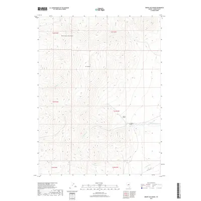
2018 Map of Mount Callaghan
USGS Topo · Published 2018About this map
Mt Callaghan dominates this section of Lander County, serving as the high point for a drainage system that feeds several canyons and seasonal creeks. The high-altitude landscape is defined by the steep descents into Boone Canyon and Callaghan Canyon, where water sources like Cottonwood Spring provided critical sustenance in an arid environment. The map details the complex hydrography of the region, including the headwaters of Silver Cr and Boone Cr, which carve through the high ridges.
Find a feature on this map
20 named features on this map. Tap any name to fly to it.
Don’t see what you’re looking for? This feature index may not catch every label — zoom into the map to look around manually.
Map Details
Editions of this 2018 Mount Callaghan Map
This is the sole edition of this map. No revisions or reprints were ever made.
Other maps of this area

1926 · Roberts Mountains
USGS Topo · 1:250,000

1929 · Roberts Mountains
USGS Topo · 1:250,000

1955 · Millett
USGS Topo · 1:250,000

1956 · Mount Callaghan
USGS Topo · 1:62,500

1956 · Hall Creek
USGS Topo · 1:62,500

1959 · Millett
USGS Topo · 1:250,000

1969 · Joe Eason Mtn
USGS Topo · 1:24,000

1969 · Yankee Blade
USGS Topo · 1:24,000

1969 · Vigus Butte NE
USGS Topo · 1:24,000

1979 · Simpson Park Mtns
USGS Topo · 1:100,000