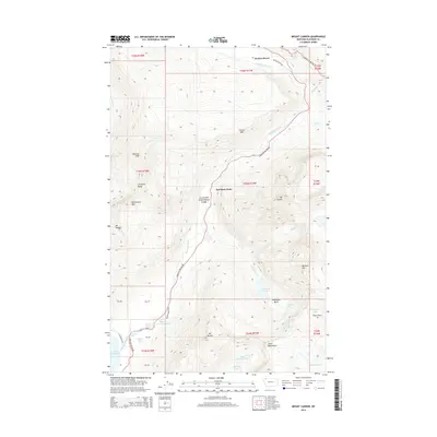
2014 Map of Mount Cannon
USGS Topo · Published 2014About this map
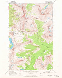
Glacier National Park defines this landscape, centered on the high peaks and alpine drainages of northwestern Montana. The engineering feat of Going To The Sun Rd winds through the center of the sheet, providing access to the interior wilderness and following the course of McDonald Creek. To the north, Packers Roost sits at the intersection of Packers Roost Rd and the main highway. The map details a dramatic vertical environment, including the massif of Mt Cannon, Heavens Peak, and the Livingston Range. Below these summits, water features such as Avalanche Lake and the northern tip of Lake McDonald are fed by landmarks like McDonald Falls and the Sacred Dancing Cascade. In the southeastern corner, the presence of Sperry Glacier and Upper Snyder Lake illustrates the high-altitude hydrology of the region.
Find a feature on this map
48 named features on this map. Tap any name to fly to it.
Don’t see what you’re looking for? This feature index may not catch every label — zoom into the map to look around manually.
Map Details
Editions of this 2014 Mount Cannon Map
This is the sole edition of this map. No revisions or reprints were ever made.
Other maps of this area

1904 · Chief Mountain
USGS Topo · 1:125,000

1938 · Chief Mountain
USGS Topo · 1:125,000

1960 · Cut Bank
USGS Topo · 1:250,000

1963 · Cut Bank
USGS Topo · 1:250,000

1964 · Cut Bank
USGS Topo · 1:250,000

1968 · Ahern Pass
USGS Topo · 1:24,000
1968 · Lake Mc Donald West
USGS Topo · 1:24,000
1968 · Mount Cannon
USGS Topo · 1:24,000
1968 · Camas Ridge East
USGS Topo · 1:24,000
1968 · Logan Pass
USGS Topo · 1:24,000