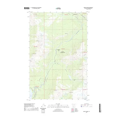
2020 Map of Mount Cannon
USGS Topo · Published 2020About this map
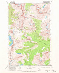
Glacier National Park dominates this terrain, centered on the precipitous heights of Mt Cannon and the high-altitude waters of Hidden Lake. The engineering of the Going-To-The-Sun Road is traced as it winds along the valley of McDonald Creek, passing below the massive Glacier Wall and Red Rock Point. This landscape highlights the transition from the shore of Lake McDonald up toward the Continental Divide, including established visitor sites like Avalanche Campground and Packers Roost.
Find a feature on this map
52 named features on this map. Tap any name to fly to it.
Don’t see what you’re looking for? This feature index may not catch every label — zoom into the map to look around manually.
Map Details
Editions of this 2020 Mount Cannon Map
This is the sole edition of this map. No revisions or reprints were ever made.
Other maps of this area

1904 · Chief Mountain
USGS Topo · 1:125,000

1938 · Chief Mountain
USGS Topo · 1:125,000

1960 · Cut Bank
USGS Topo · 1:250,000

1963 · Cut Bank
USGS Topo · 1:250,000

1964 · Cut Bank
USGS Topo · 1:250,000

1968 · Ahern Pass
USGS Topo · 1:24,000
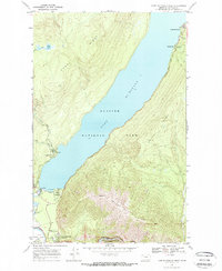
1968 · Lake Mc Donald West
USGS Topo · 1:24,000
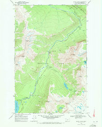
1968 · Mount Cannon
USGS Topo · 1:24,000
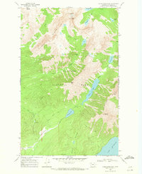
1968 · Camas Ridge East
USGS Topo · 1:24,000
1968 · Logan Pass
USGS Topo · 1:24,000