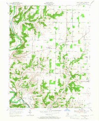
1955 Map of Mount Carmel
USGS Topo · Published 1967About this map
Whitewater River valleys and the surrounding upland plateaus of Franklin County dominate this mid-century survey. The landscape is defined by its drainage systems, where Big Cedar Creek and Little Cedar Creek carve deep through the terrain, creating prominent landforms like Templeton Hill, Garr Hill, and Bon Well Hill. The settlement pattern reflects a deeply rooted rural community, anchored by numerous religious and educational landmarks such as Big Cedar Ch, Center Chapel, and the Township Sch.
Find a feature on this map
32 named features on this map. Tap any name to fly to it.
Don’t see what you’re looking for? This feature index may not catch every label — zoom into the map to look around manually.
Map Details
Editions of this 1955 Mount Carmel Map
2 editions found
Other maps of this area

1915 · College Corner
USGS Topo · 1:48,000

1915 · Harrison
USGS Topo · 1:48,000

1918 · College Corner
USGS Topo · 1:62,500

1948 · Fairfield
USGS Topo · 1:24,000

1953 · Cincinnati
USGS Topo · 1:250,000

1955 · Harrison
USGS Topo · 1:24,000

1955 · Reily
USGS Topo · 1:24,000

1955 · Mount Carmel
USGS Topo · 1:24,000
1955 · Cedar Grove
USGS Topo · 1:24,000

1956 · Everton
USGS Topo · 1:24,000