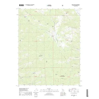
2018 Map of Mount Carmel
USGS Topo · Published 2018About this map
San Francisquito Flat sits at a geographic crossroads within the northern reaches of the Los Padres National Forest, where the terrain begins its steep ascent into the Santa Lucia Range. This 2018 survey detail shows a landscape defined by sharp elevation shifts, from the northern Carmel River drainage to the high peaks of Mt Carmel and Devils Peak. The map reveals an intricate network of ridge-top trails and canyon roads, such as Rancho San Carlos Rd and Robinson Canyon Rd, which navigate the complex system of summits including Pinyon Peak and Vasquez Knob.
Find a feature on this map
76 named features on this map. Tap any name to fly to it.
Don’t see what you’re looking for? This feature index may not catch every label — zoom into the map to look around manually.
Map Details
Editions of this 2018 Mount Carmel Map
This is the sole edition of this map. No revisions or reprints were ever made.
Other maps of this area

1910 · Salinas
USGS Topo · 1:31,680

1912 · Salinas
USGS Topo · 1:62,500

1913 · Monterey
USGS Topo · 1:62,500

1918 · Point Sur
USGS Topo · 1:62,500

1920 · Jamesburg
USGS Topo · 1:48,000

1921 · Jamesburg
USGS Topo · 1:62,500

1925 · Point Sur
USGS Topo · 1:62,500

1939 · Jamesburg
USGS Topo · 1:62,500

1940 · Salinas
USGS Topo · 1:62,500

1940 · Jamesburg
USGS Topo · 1:62,500