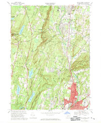
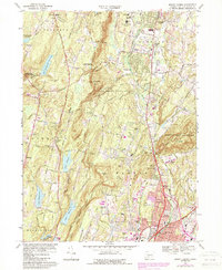
1967 Map of Mount Carmel
USGS Topo · Published 1970About this map
Mt Carmel and the distinctive ridgelines of Sleeping Giant State Park anchor this late 1960s study of New Haven County's northern suburbs. The landscape reflects a period of significant institutional and residential growth, featuring the campus of Quinnipiac College and the expanding footprints of Hamden and Cheshire. The Mill River corridor serves as a focal point for local industry and infrastructure, including the Penn Central rail line and the Axle Shop Pond.
Find a feature on this map
82 named features on this map. Tap any name to fly to it.
Don’t see what you’re looking for? This feature index may not catch every label — zoom into the map to look around manually.
Map Details
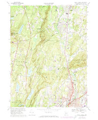
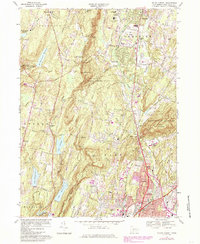
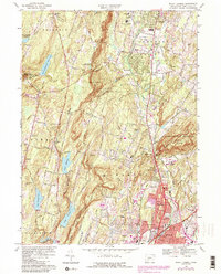
Editions of this 1967 Mount Carmel Map
5 editions found
Other maps of this area

1889 · Derby
USGS Topo · 1:62,500

1891 · Derby
USGS Topo · 1:62,500

1892 · New Haven
USGS Topo · 1:62,500

1892 · Meriden
USGS Topo · 1:62,500

1893 · Waterbury
USGS Topo · 1:62,500

1893 · Meriden
USGS Topo · 1:62,500

1893 · Derby
USGS Topo · 1:62,500

1904 · Waterbury
USGS Topo · 1:62,500

1904 · Litchfield
USGS Topo · 1:125,000

1906 · Farmington
USGS Topo · 1:125,000