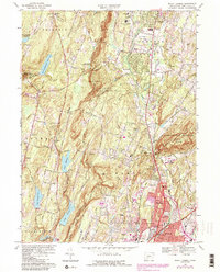
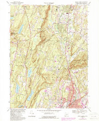
1967 Map of Mount Carmel
USGS Topo · Published 1988About this map
Mount Carmel and the distinctive ridgelines of Sleeping Giant State Park anchor this detailed mid-century survey of New Haven County. The landscape is a study in post-war suburban growth and traditional New England infrastructure, where early transportation arteries like the Bethany Turnpike, Whitney Ave, and Dixwell Ave connect established settlements such as Cheshire and Hamden. The industrial and agricultural heritage of the region is evident through features like the Axle Shop Pond and the Agricultural Experiment Sta, while the importance of water management is highlighted by a chain of reservoirs including Lake Watrous, Lake Chamberlain, and the New Naugatuck Reservoir. Genealogists will find significant value in the documentation of local landmarks, ranging from the Old Bethany Cem and Doolittle Cem to the Our Lady of LaSalette Seminary and various schools that served these growing communities.
Find a feature on this map
71 named features on this map. Tap any name to fly to it.
Don’t see what you’re looking for? This feature index may not catch every label — zoom into the map to look around manually.
Map Details
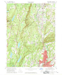
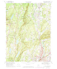
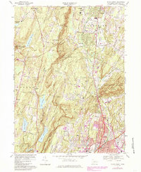
Editions of this 1967 Mount Carmel Map
5 editions found
Other maps of this area

1889 · Derby
USGS Topo · 1:62,500

1891 · Derby
USGS Topo · 1:62,500

1892 · New Haven
USGS Topo · 1:62,500

1892 · Meriden
USGS Topo · 1:62,500

1893 · Waterbury
USGS Topo · 1:62,500

1893 · Meriden
USGS Topo · 1:62,500

1893 · Derby
USGS Topo · 1:62,500

1904 · Waterbury
USGS Topo · 1:62,500

1904 · Litchfield
USGS Topo · 1:125,000

1906 · Farmington
USGS Topo · 1:125,000