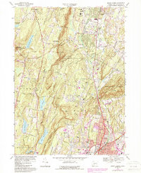
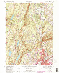
1967 Map of Mount Carmel
USGS Topo · Published 1988About this map
Sleeping Giant State Park dominates the eastern topography, its distinctive profile rising above the Quinnipiac River valley. This mid-century landscape reveals a region transitioning from rural estates to suburban development, anchored by institutional landmarks such as Quinnipiac College and Our Lady of LaSalette Seminary. The influence of the local hydrology is evident in the string of reservoirs along the western ridge, including Lake Bethany, Lake Chamberlain, and Lake Watrous.
Find a feature on this map
90 named features on this map. Tap any name to fly to it.
Don’t see what you’re looking for? This feature index may not catch every label — zoom into the map to look around manually.
Map Details
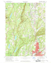
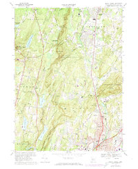
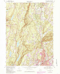
Editions of this 1967 Mount Carmel Map
5 editions found
Other maps of this area

1889 · Derby
USGS Topo · 1:62,500

1891 · Derby
USGS Topo · 1:62,500

1892 · New Haven
USGS Topo · 1:62,500

1892 · Meriden
USGS Topo · 1:62,500

1893 · Waterbury
USGS Topo · 1:62,500

1893 · Meriden
USGS Topo · 1:62,500

1893 · Derby
USGS Topo · 1:62,500

1904 · Waterbury
USGS Topo · 1:62,500

1904 · Litchfield
USGS Topo · 1:125,000

1906 · Farmington
USGS Topo · 1:125,000