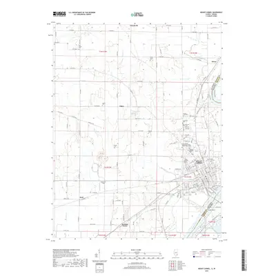
2018 Map of Mount Carmel
USGS Topo · Published 2018About this map
The Wabash River forms the vital border between Illinois and Indiana, anchoring the city of Mount Carmel as a regional center of education and transit. This 2018 survey detail shows a landscape punctuated by numerous legacy burial grounds, reflecting the deep genealogical roots of Wabash County, including the Potters Field Cem, Lingenfelter Cem, and the extensive Highland Memorial Cem. Beyond the city limits, the landscape transitions to rural hamlets like Friendsville and Maud, alongside former rail-related points like Schrodts Station. The presence of Illinois Eastern Community Colleges - Wabash Valley College signifies the modern institutional character of the area, while the meandering paths of Fordice Cr and Greathouse Cr define the natural drainage leading toward the river basin and Patoka Island.
Find a feature on this map
150 named features on this map. Tap any name to fly to it.
Don’t see what you’re looking for? This feature index may not catch every label — zoom into the map to look around manually.
Map Details
Editions of this 2018 Mount Carmel Map
This is the sole edition of this map. No revisions or reprints were ever made.
Other maps of this area

1901 · Princeton
USGS Topo · 1:62,500

1903 · Princeton
USGS Topo · 1:62,500

1903 · Patoka
USGS Topo · 1:125,000

1904 · Mount Carmel
USGS Topo · 1:62,500

1911 · Sumner
USGS Topo · 1:62,500

1913 · Sumner
USGS Topo · 1:62,500

1915 · Vincennes
USGS Topo · 1:62,500

1944 · Vincennes
USGS Topo · 1:62,500

1956 · Vincennes
USGS Topo · 1:250,000

1957 · Vincennes
USGS Topo · 1:250,000