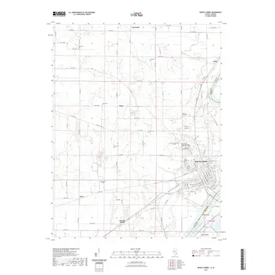
2021 Map of Mount Carmel
USGS Topo · Published 2021About this map
Mount Carmel anchors this landscape along the western banks of the Wabash River, where the state boundary with Indiana follows the winding water. The grid of the city gives way to a network of county roads connecting outlying settlements like Friendsville, Patton, and Maud. The area is notably dense with commemorative and religious sites, ranging from the expansive Highland Memorial Cem and Rose Hill Cem in the south to smaller, family-named plots such as Nye Chapel Cem, Hallock Cem, and Chapman Cem scattered across the rural townships.
Find a feature on this map
66 named features on this map. Tap any name to fly to it.
Don’t see what you’re looking for? This feature index may not catch every label — zoom into the map to look around manually.
Map Details
Editions of this 2021 Mount Carmel Map
This is the sole edition of this map. No revisions or reprints were ever made.
Other maps of this area

1901 · Princeton
USGS Topo · 1:62,500

1903 · Princeton
USGS Topo · 1:62,500

1903 · Patoka
USGS Topo · 1:125,000

1904 · Mount Carmel
USGS Topo · 1:62,500

1911 · Sumner
USGS Topo · 1:62,500

1913 · Sumner
USGS Topo · 1:62,500

1915 · Vincennes
USGS Topo · 1:62,500

1944 · Vincennes
USGS Topo · 1:62,500

1956 · Vincennes
USGS Topo · 1:250,000

1957 · Vincennes
USGS Topo · 1:250,000