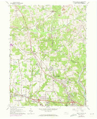
1964 Map of Mount Chestnut
USGS Topo · Published 1973About this map
Bessemer and Lake Erie railroad tracks cut a diagonal path across this landscape, connecting small coal-producing and agricultural communities like Euclid and Queen Junction. The map illustrates the 1960s and early 70s expansion of the Butler periphery, visible through burgeoning residential developments such as Timberly Heights, Windward Heights, and Shanor Heights. This era also marks the development of recreation and conservation, centered on Moraine State Park and the western reaches of Lake Arthur.
Find a feature on this map
55 named features on this map. Tap any name to fly to it.
Don’t see what you’re looking for? This feature index may not catch every label — zoom into the map to look around manually.
Map Details
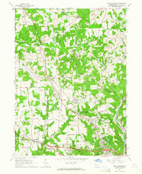
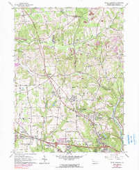
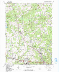
Editions of this 1964 Mount Chestnut Map
4 editions found
Other maps of this area

1908 · Zelienople
USGS Topo · 1:62,500

1909 · Butler
USGS Topo · 1:62,500

1910 · Zelienople
USGS Topo · 1:62,500

1910 · Hilliards
USGS Topo · 1:62,500

1911 · Butler
USGS Topo · 1:62,500

1912 · Hilliards
USGS Topo · 1:62,500

1913 · Mercer
USGS Topo · 1:62,500

1939 · Mercer
USGS Topo · 1:62,500

1943 · Mercer
USGS Topo · 1:62,500

1944 · Hilliards
USGS Topo · 1:62,500