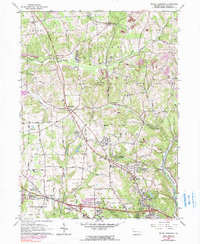
1964 Map of Mount Chestnut
USGS Topo · Published 1990About this map
Unionville and the surrounding townships of Center and Franklin define this mid-century landscape in Butler County, where the transition from rural agriculture to early suburban expansion is evident. The western corridor is dominated by Chestnut Ridge and the Lake Arthur vicinity, featuring recreation and leisure sites like the Lake Arthur Country Club. To the south, residential development is concentrated in established settlements like Mount Chestnut and Greenwood Village, while the local education system is represented by the Township Sch and Bon Aire Sch.
Find a feature on this map
49 named features on this map. Tap any name to fly to it.
Don’t see what you’re looking for? This feature index may not catch every label — zoom into the map to look around manually.
Map Details
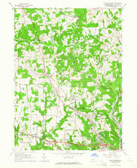
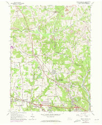
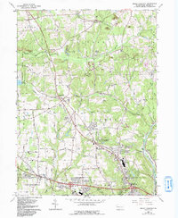
Editions of this 1964 Mount Chestnut Map
4 editions found
Other maps of this area

1908 · Zelienople
USGS Topo · 1:62,500

1909 · Butler
USGS Topo · 1:62,500

1910 · Zelienople
USGS Topo · 1:62,500

1910 · Hilliards
USGS Topo · 1:62,500

1911 · Butler
USGS Topo · 1:62,500

1912 · Hilliards
USGS Topo · 1:62,500

1913 · Mercer
USGS Topo · 1:62,500

1939 · Mercer
USGS Topo · 1:62,500

1943 · Mercer
USGS Topo · 1:62,500

1944 · Hilliards
USGS Topo · 1:62,500