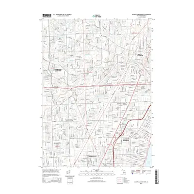
2014 Map of Mount Clemens West
USGS Topo · Published 2014About this map
Sterling Heights and Mount Clemens anchor this densely settled corridor of Macomb County in the early 2010s. The landscape is defined by a sophisticated water management network, featuring an extensive system of drains and ditches such as the Robinson Ditch, Dinner Ditch, and Cranberry Marsh Drain that channel water toward the Clinton River. This drainage infrastructure underscores the region's transition from historical wetlands to a highly developed suburban environment.
Find a feature on this map
81 named features on this map. Tap any name to fly to it.
Don’t see what you’re looking for? This feature index may not catch every label — zoom into the map to look around manually.
Map Details
Editions of this 2014 Mount Clemens West Map
This is the sole edition of this map. No revisions or reprints were ever made.
Other maps of this area

1905 · Detroit
USGS Topo · 1:62,500

1905 · Grosse Pointe
USGS Topo · 1:62,500

1908 · Rochester
USGS Topo · 1:62,500

1912 · Mt Clemens
USGS Topo · 1:62,500

1918 · Detroit
USGS Topo · 1:62,500

1918 · Grosse Pointe
USGS Topo · 1:62,500

1924 · Detroit
USGS Topo · 1:62,500

1929 · Mt Clemens
USGS Topo · 1:62,500

1934 · Detroit
USGS Topo · 1:62,500

1936 · Warren
USGS Topo · 1:31,680