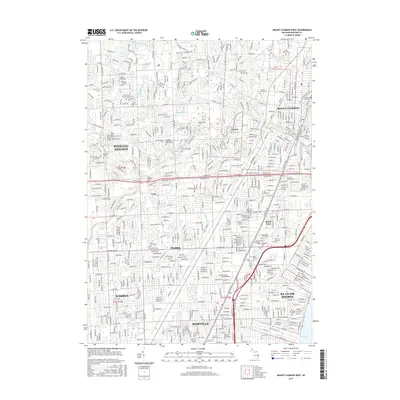
2017 Map of Mount Clemens West
USGS Topo · Published 2017About this map
Mount Clemens and its western suburbs appear here as a dense network of residential development and commercial corridors, bisected by the Middle Branch Clinton River and North Branch Clinton River. This 2017 study illustrates the complex drainage system of the Macomb County landscape, featuring a series of historic drains and ditches like Utica Drain, Gloede Ditch, and Peltier Drain that once supported the area's agricultural origins. The map is particularly notable for its concentration of memorial sites, including the expansive Clinton Grove Cem, Cadillac Memorial Gardens East, and a cluster of Jewish cemeteries such as Hebrew Memorial Park and Workmen Circle Cem. These landmarks, along with the Baker College of Clinton Township, reflect the institutional growth and cultural history of Sterling Heights, Fraser, and Roseville.
Find a feature on this map
62 named features on this map. Tap any name to fly to it.
Don’t see what you’re looking for? This feature index may not catch every label — zoom into the map to look around manually.
Map Details
Editions of this 2017 Mount Clemens West Map
This is the sole edition of this map. No revisions or reprints were ever made.
Other maps of this area

1905 · Detroit
USGS Topo · 1:62,500

1905 · Grosse Pointe
USGS Topo · 1:62,500

1908 · Rochester
USGS Topo · 1:62,500

1912 · Mt Clemens
USGS Topo · 1:62,500

1918 · Detroit
USGS Topo · 1:62,500

1918 · Grosse Pointe
USGS Topo · 1:62,500

1924 · Detroit
USGS Topo · 1:62,500

1929 · Mt Clemens
USGS Topo · 1:62,500

1934 · Detroit
USGS Topo · 1:62,500

1936 · Warren
USGS Topo · 1:31,680