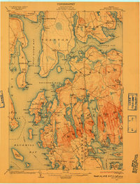
1904 Map of Mount Desert
USGS Topo · Published 1910About this map
Sieur De Monts National Monument dominates the eastern heights of this coastal survey, reflecting the early administrative steps toward preserving this island landscape. The map captures the maritime orientation of the early twentieth century, noting the U.S. Coaling Station near Lamoine and active steamboat routes connecting Northeast Harbor and Southwest Harbor. Inland, the economy of Mount Desert is visible through the Hall Quarry and small settlements like Somesville and Town Hill. The terrain is defined by dramatic peaks such as Sargent Mt. and Western Mountain, which rise above numerous inland water bodies including Seal Cove Pond and Jordan Pond. On the mainland, the Union River flows past Bayside into Union River Bay, illustrating the established connection between the coastal villages and the interior river networks of Hancock County.
Find a feature on this map
213 named features on this map. Tap any name to fly to it.
Don’t see what you’re looking for? This feature index may not catch every label — zoom into the map to look around manually.
Map Details
Editions of this 1904 Mount Desert Map
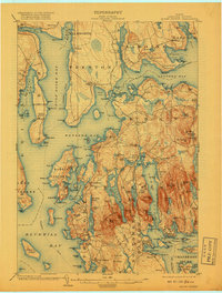
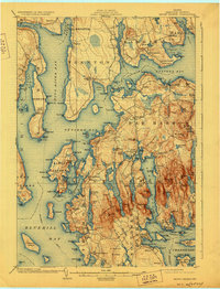
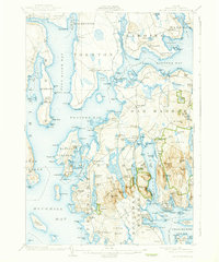
5 editions found
Other maps of this area

1900 · Orland
USGS Topo · 1:62,500

1904 · Deer Isle
USGS Topo · 1:62,500

1904 · Mount Desert
USGS Topo · 1:62,500

1904 · Swan Island
USGS Topo · 1:62,500

1904 · Bar Harbor
USGS Topo · 1:62,500

1904 · Bluehill
USGS Topo · 1:62,500

1905 · Penobscot Bay
USGS Topo · 1:125,000

1911 · Ellsworth
USGS Topo · 1:62,500

1930 · Tunk Lake
USGS Topo · 1:48,000

1932 · Tunk Lake
USGS Topo · 1:62,500