
1942 Map of Mount Desert
USGS Topo · Published 1942About this map
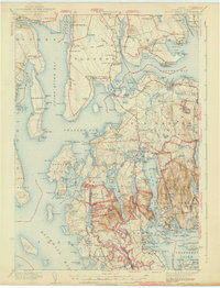
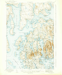
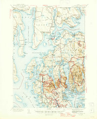
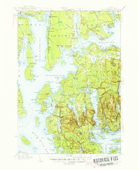
Acadia National Park and the rugged coastline of Mount Desert Island dominate this 1942 edition, which documents the region as it transitioned into a premier coastal destination during the mid-twentieth century. The landscape is a mix of established village centers like Somesville and specialized facilities including the Marine Laboratory and Biological Laboratory at Salsbury Cove. The interior of the island shows a complex topography of peaks like Mansell Mtn and Bernard Mtn, while the coastline is dotted with smaller settlements such as Pretty Marsh and Seal Cove. On the mainland, the Bar Harbor Airport stands near the head of the island, connected by the Old Turnpike. Local genealogy is well-supported by numerous schools like Lamoine Sch and Partridge Sch, alongside family-named sites such as Leland Cem and Haynes Cem, providing a detailed record of the families living around Union River Bay and Western Bay.
Find a feature on this map
294 named features on this map. Tap any name to fly to it.
Don’t see what you’re looking for? This feature index may not catch every label — zoom into the map to look around manually.
Map Details
Editions of this 1942 Mount Desert Map
5 editions found
Other maps of this area

1900 · Orland
USGS Topo · 1:62,500

1904 · Deer Isle
USGS Topo · 1:62,500

1904 · Mount Desert
USGS Topo · 1:62,500

1904 · Swan Island
USGS Topo · 1:62,500

1904 · Bar Harbor
USGS Topo · 1:62,500

1904 · Bluehill
USGS Topo · 1:62,500

1905 · Penobscot Bay
USGS Topo · 1:125,000

1911 · Ellsworth
USGS Topo · 1:62,500

1930 · Tunk Lake
USGS Topo · 1:48,000

1932 · Tunk Lake
USGS Topo · 1:62,500