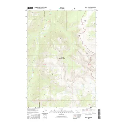
2017 Map of Mount Douglas
USGS Topo · Published 2017About this map
Gallatin National Forest and Custer National Forest converge in this high-altitude landscape dominated by the Absaroka-Beartooth wilderness character. The area is defined by massive alpine features such as Mt Douglas and Breakneck Mtn, alongside the expansive East Boulder Plateau and Lake Plateau. These geological formations govern the local hydrology, with the Boulder River and its numerous tributaries like Upsidedown Cr and Rainbow Cr carving through the terrain.
Find a feature on this map
47 named features on this map. Tap any name to fly to it.
Don’t see what you’re looking for? This feature index may not catch every label — zoom into the map to look around manually.
Map Details
Editions of this 2017 Mount Douglas Map
This is the sole edition of this map. No revisions or reprints were ever made.
Other maps of this area

1891 · Livingston
USGS Topo · 1:250,000

1893 · Livingston
USGS Topo · 1:250,000

1940 · Mt. Cowen
USGS Topo · 1:62,500

1940 · Mt Wallace
USGS Topo · 1:62,500

1941 · Mt Douglas
USGS Topo · 1:62,500

1942 · Cutoff Mtn
USGS Topo · 1:62,500

1943 · Mt Wallace
USGS Topo · 1:62,500

1943 · Mt Douglas
USGS Topo · 1:62,500

1943 · Mt Cowen
USGS Topo · 1:62,500

1944 · Cutoff Mtn
USGS Topo · 1:62,500