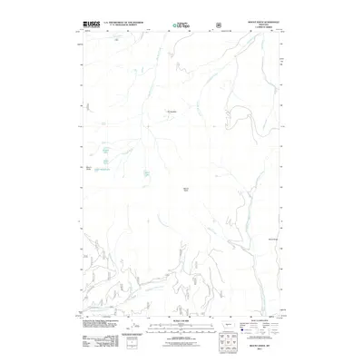
2011 Map of Mount Edith
USGS Topo · Published 2011About this map
Mount Edith and Mount Baldy dominate this high-altitude Montana landscape, serving as the central headwaters for a complex drainage system in the early twenty-first century. The terrain is defined by a network of alpine lakes, including Edith Lake, Hidden Lake, and Grace Lake, which feed the various forks of the surrounding creek systems. The presence of The Needles suggests a fractured, rocky geology typical of the region's prominent ridges.
Find a feature on this map
17 named features on this map. Tap any name to fly to it.
Don’t see what you’re looking for? This feature index may not catch every label — zoom into the map to look around manually.
Map Details
Editions of this 2011 Mount Edith Map
This is the sole edition of this map. No revisions or reprints were ever made.
Other maps of this area

1886 · Fort Logan
USGS Topo · 1:250,000

1948 · White Sulphur Springs
USGS Topo · 1:250,000

1950 · Duck Creek Pass
USGS Topo · 1:62,500

1958 · White Sulphur Springs
USGS Topo · 1:250,000

1961 · White Sulphur Springs
USGS Topo · 1:250,000

1965 · White Sulphur Springs
USGS Topo · 1:250,000

1966 · Boulder Baldy
USGS Topo · 1:24,000
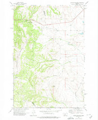
1971 · Battle Mountain
USGS Topo · 1:24,000
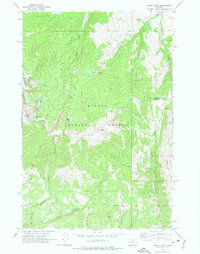
1971 · Mount Edith
USGS Topo · 1:24,000
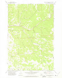
1971 · Sulphur Bar Creek
USGS Topo · 1:24,000