
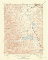
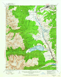
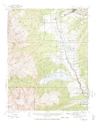
1935 Map of Mount Elbert
USGS Topo · Published 1955About this map
The Continental Divide anchors the western edge of this High Rockies landscape, where the massive peaks of Mt. Massive and Mt. Elbert tower over the Arkansas River valley. This 1935 survey captures a region defined by its industrial and agricultural layers, from the high-altitude mining operations near Leadville at Carbonate Hill and Iron Hill to the water management systems of the Twin Lakes Reservoir. The valley floor is busy with transport and infrastructure, following the path of the Denver and Rio Grande Western RR as it passes through Malta and Kobe. Small educational and social centers like Soda Springs Sch and the Mt. Massive Trout Club reflect the settled life of the mountain community, while the U.S. Fish Hatchery and U.S. Fish Nursery indicate a focused effort on local environmental management during the mid-1930s.
Find a feature on this map
95 named features on this map. Tap any name to fly to it.
Don’t see what you’re looking for? This feature index may not catch every label — zoom into the map to look around manually.
Map Details
Editions of this 1935 Mount Elbert Map
4 editions found
Other maps of this area

1889 · Leadville
USGS Topo · 1:125,000

1891 · Leadville
USGS Topo · 1:125,000

1909 · Mount Jackson
USGS Topo · 1:125,000

1911 · Mount Jackson
USGS Topo · 1:125,000

1934 · Climax
USGS Topo · 1:48,000

1934 · Taylor Park
USGS Topo · 1:62,500

1937 · Taylor Park
USGS Topo · 1:62,500

1938 · Mt. Lincoln
USGS Topo · 1:48,000

1938 · Mount Elbert
USGS Topo · 1:62,500

1939 · Mount Elbert
USGS Topo · 1:62,500