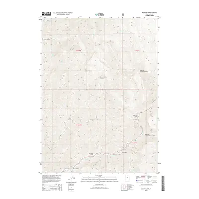
2014 Map of Mount Elmer
USGS Topo · Published 2014About this map
Mt Elmer and Mt Jardine dominate this high-altitude section of the Cache National Forest, where the topography is defined by a series of deep canyons and drainages feeding into the Logan River. The map highlights a network of vital water sources for the region, including Bald Eagle Spring, Red Ledge Spring, and Cottonwood Spring. Of particular interest to naturalists and local historians is the Old Jardine Juniper, a landmark specimen situated near the eastern edge of the quadrangle.
Find a feature on this map
33 named features on this map. Tap any name to fly to it.
Don’t see what you’re looking for? This feature index may not catch every label — zoom into the map to look around manually.
Map Details
Editions of this 2014 Mount Elmer Map
This is the sole edition of this map. No revisions or reprints were ever made.
Other maps of this area
1914 · Logan
USGS Topo · 1:125,000
1916 · Logan
USGS Topo · 1:125,000
1949 · Boulter Mts
USGS Topo · 1:24,000

1954 · Ogden
USGS Topo · 1:250,000
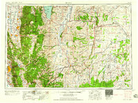
1958 · Ogden
USGS Topo · 1:250,000
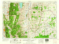
1960 · Ogden
USGS Topo · 1:250,000
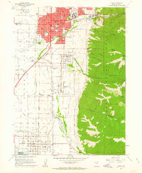
1961 · Logan
USGS Topo · 1:24,000
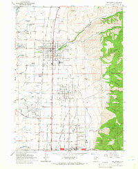
1964 · Smithfield
USGS Topo · 1:24,000
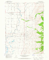
1964 · Richmond
USGS Topo · 1:24,000
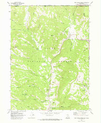
1969 · Tony Grove Creek
USGS Topo · 1:24,000
Featured Places
- Beirdneau Summer Home Area, UT
- Pine Bluffs Summer Home Area, UT
- Chokecherry Summer Home Area, UT
- Cache County, UT
- United States