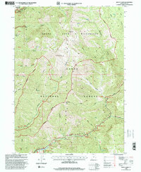
1998 Map of Mount Elmer
USGS Topo · Published 2001About this map
Mount Naomi Wilderness dominates the northern reaches of this late-twentieth-century survey, centered on the high peaks of the Mount Naomi range. The landscape is defined by the dramatic descent from Mt Elmer and Mt Jardine into the deep drainages of Smithfield Canyon and Birch Canyon. To the south, the Logan River carves a significant corridor through the Cache National Forest, serving as a primary focal point for recreation and forest management.
Find a feature on this map
52 named features on this map. Tap any name to fly to it.
Don’t see what you’re looking for? This feature index may not catch every label — zoom into the map to look around manually.
Map Details
Editions of this 1998 Mount Elmer Map
This is the sole edition of this map. No revisions or reprints were ever made.
Other maps of this area

1914 · Logan
USGS Topo · 1:125,000

1916 · Logan
USGS Topo · 1:125,000

1949 · Boulter Mts
USGS Topo · 1:24,000

1954 · Ogden
USGS Topo · 1:250,000

1958 · Ogden
USGS Topo · 1:250,000

1960 · Ogden
USGS Topo · 1:250,000

1961 · Logan
USGS Topo · 1:24,000
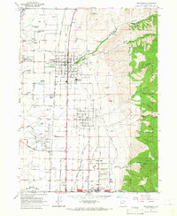
1964 · Smithfield
USGS Topo · 1:24,000
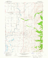
1964 · Richmond
USGS Topo · 1:24,000
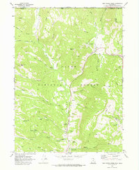
1969 · Tony Grove Creek
USGS Topo · 1:24,000
Featured Places
- Beirdneau Summer Home Area, UT
- Pine Bluffs Summer Home Area, UT
- Chokecherry Summer Home Area, UT
- Cache County, UT
- United States