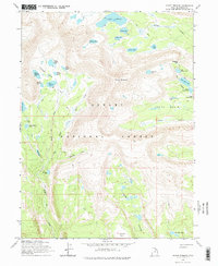
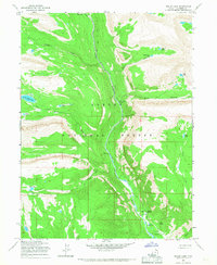
1965 Map of Mount Emmons
USGS Topo · Published 1975About this map
Mount Emmons anchors this high-elevation landscape within the Ashley National Forest, where a network of glacial basins and water bodies define the eastern Uinta Mountains. The 1965 survey traces a vast hydrological system, from the Timothy Lakes group in the west, including West Timothy Lake and East Timothy Lake, to the expansive Chain Lakes chain in the east. The terrain is marked by steep elevation changes, punctuated by named peaks like Flat Top and the passage through Roberts Pass.
Find a feature on this map
40 named features on this map. Tap any name to fly to it.
Don’t see what you’re looking for? This feature index may not catch every label — zoom into the map to look around manually.
Map Details
Editions of this 1965 Mount Emmons Map
3 editions found
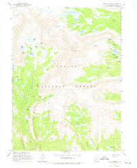
Other maps of this area

1885 · Uinta
USGS Topo · 1:250,000

1905 · Gilbert Peak
USGS Topo · 1:125,000

1906 · Gilbert Peak
USGS Topo · 1:125,000

1954 · Salt Lake City
USGS Topo · 1:250,000

1958 · Salt Lake City
USGS Topo · 1:250,000

1960 · Salt Lake City
USGS Topo · 1:250,000

1965 · Mount Emmons
USGS Topo · 1:24,000
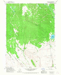
1965 · Heller Lake
USGS Topo · 1:24,000
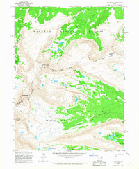
1965 · Kings Peak
USGS Topo · 1:24,000
1965 · Bollie Lake
USGS Topo · 1:24,000