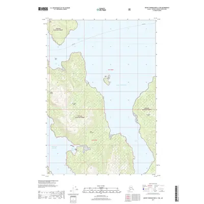
2017 Map of Mount Fairweather A-1 NW
USGS Topo · Published 2017About this map
Elfin Cove sits as a lonely human outpost on the northwestern edge of Chichagof Island, a region defined by intricate waterways and steep coastal terrain within the Tongass National Forest. This nautical landscape is segmented by the South Inian Pass, separating the mainland peninsula from the Inian Islands to the north. The map documents the complex relationship between land and sea, where deep fjords like Idaho Inlet and protected basins such as Salt Chuck Bay and Port Althorp provide the only reliable corridors for travel.
Find a feature on this map
16 named features on this map. Tap any name to fly to it.
Don’t see what you’re looking for? This feature index may not catch every label — zoom into the map to look around manually.
Map Details
Editions of this 2017 Mount Fairweather A-1 NW Map
This is the sole edition of this map. No revisions or reprints were ever made.
Other maps of this area

1948 · Mount Fairweather A-2
USGS Topo · 1:63,360

1948 · Mount Fairweather B-1
USGS Topo · 1:63,360

1948 · Mount Fairweather B-2
USGS Topo · 1:63,360

1948 · Mount Fairweather A-1
USGS Topo · 1:63,360

1951 · Mt Fairweather
USGS Topo · 1:250,000

1954 · Mount Fairweather A-1
USGS Topo · 1:63,360

1961 · Mt Fairweather
USGS Topo · 1:250,000
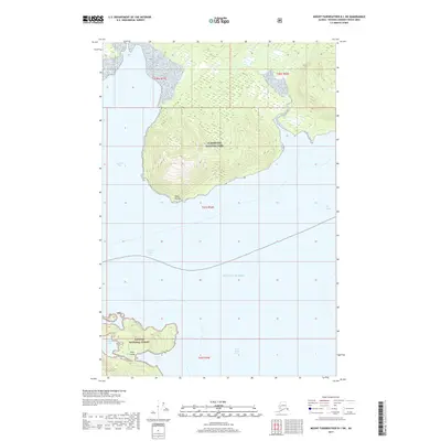
2017 · Mount Fairweather B-1 SW
USGS Topo · 1:25,000
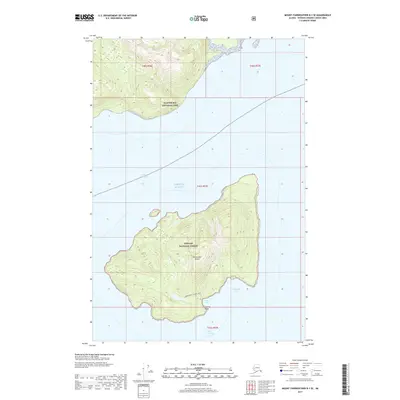
2017 · Mount Fairweather B-1 SE
USGS Topo · 1:25,000
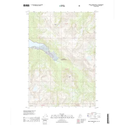
2017 · Mount Fairweather A-1 SE
USGS Topo · 1:25,000