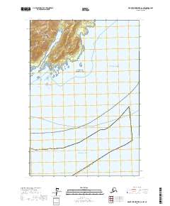
2017 Map of Mount Fairweather A-2 NW
USGS Topo · Published 2017About this map
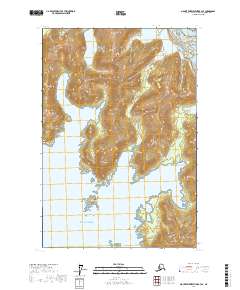
Cape Spencer stands as a prominent maritime landmark where the Saint Elias Mountains and the Fairweather Range meet the Pacific. This coastline is defined by the protected wilderness of Glacier Bay National Park, featuring the sheltered waters of Dicks Arm tucked behind the headland. The map provides a detailed view of essential navigational aids and transit routes in this remote reach of the Hoonah-Angoon Census Area, including the Cape Spencer Coast Guard Heliport and the Ferry Route crossing into Cross Sound. Offshore, the terrain transitions into the open Gulf of Alaska, with hazards like Zip Rock marking the transition from protected inlets to the high seas. The orientation of the mountains against the coastline reflects the dramatic topography that has long dictated maritime safety and passage in Southeast Alaska.
Find a feature on this map
15 named features on this map. Tap any name to fly to it.
Don’t see what you’re looking for? This feature index may not catch every label — zoom into the map to look around manually.
Map Details
Editions of this 2017 Mount Fairweather A-2 NW Map
This is the sole edition of this map. No revisions or reprints were ever made.
Other maps of this area

1948 · Mount Fairweather A-2
USGS Topo · 1:63,360

1948 · Mount Fairweather B-2
USGS Topo · 1:63,360

1951 · Mt Fairweather
USGS Topo · 1:250,000
1961 · Mount Fairweather A-3
USGS Topo · 1:63,360
1961 · Mount Fairweather B-3
USGS Topo · 1:63,360

1961 · Mt Fairweather
USGS Topo · 1:250,000
2017 · Mount Fairweather A-3 NE
USGS Topo · 1:25,000
2017 · Mount Fairweather B-3 SE
USGS Topo · 1:25,000
2017 · Mount Fairweather B-2 SE
USGS Topo · 1:25,000
2017 · Mount Fairweather A-2 SE
USGS Topo · 1:25,000