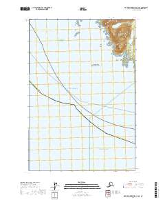
2017 Map of Mount Fairweather A-3 NE
USGS Topo · Published 2017About this map
Glacier Bay National Park encompasses the rugged coastline where the Saint Elias Mountains meet the sea. This coastal area is dominated by the Fairweather Range, where sharp elevation changes occur within miles of the shore. The coastal topography is defined by features such as the Polka Peninsula and the small Polka Rock just offshore. Maritime navigation is central to the area's geography, indicated by the transiting Pelican - Juneau ferry route crossing the Gulf of Alaska. Near Point Villaluenga, the coastline is deeply indented, showing the complex interaction between the high peaks and the Pacific Ocean. This survey illustrates the protected wilderness character of the Hoonah-Angoon Census Area, focusing on the uninhabited maritime and mountainous borders of the park.
Find a feature on this map
13 named features on this map. Tap any name to fly to it.
Don’t see what you’re looking for? This feature index may not catch every label — zoom into the map to look around manually.
Map Details
Editions of this 2017 Mount Fairweather A-3 NE Map
This is the sole edition of this map. No revisions or reprints were ever made.
Other maps of this area

1948 · Mount Fairweather A-2
USGS Topo · 1:63,360

1948 · Mount Fairweather B-2
USGS Topo · 1:63,360

1951 · Mt Fairweather
USGS Topo · 1:250,000
1961 · Mount Fairweather A-3
USGS Topo · 1:63,360
1961 · Mount Fairweather B-3
USGS Topo · 1:63,360

1961 · Mt Fairweather
USGS Topo · 1:250,000
2017 · Mount Fairweather B-3 SW
USGS Topo · 1:25,000
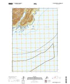
2017 · Mount Fairweather A-2 NW
USGS Topo · 1:25,000
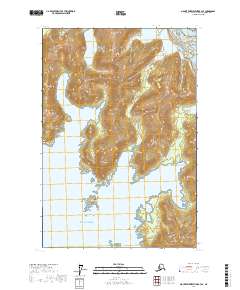
2017 · Mount Fairweather B-3 SE
USGS Topo · 1:25,000
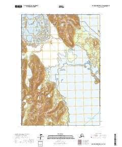
2017 · Mount Fairweather B-2 SW
USGS Topo · 1:25,000