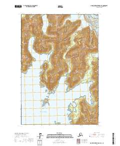
2017 Map of Mount Fairweather B-3 SE
USGS Topo · Published 2017About this map
Glacier Bay National Park encompasses this coastal reach of Southeast Alaska, where dramatic glaciation meets the rugged inlets of the Gulf of Alaska. The landscape is defined by the massive Brady Glacier in the northeast, which feeds the surrounding waterways and characterizes the shifting ice-influenced terrain. Along the coastline, the deep waters of Torch Bay and Graves Harbor provide shelter from the open sea, carved into the land by historical glacial movement.
Find a feature on this map
20 named features on this map. Tap any name to fly to it.
Don’t see what you’re looking for? This feature index may not catch every label — zoom into the map to look around manually.
Map Details
Editions of this 2017 Mount Fairweather B-3 SE Map
This is the sole edition of this map. No revisions or reprints were ever made.
Other maps of this area

1948 · Mount Fairweather A-2
USGS Topo · 1:63,360

1948 · Mount Fairweather B-2
USGS Topo · 1:63,360

1951 · Mt Fairweather
USGS Topo · 1:250,000
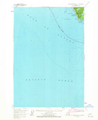
1961 · Mount Fairweather A-3
USGS Topo · 1:63,360
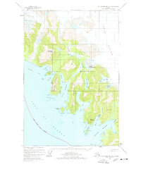
1961 · Mount Fairweather B-3
USGS Topo · 1:63,360

1961 · Mt Fairweather
USGS Topo · 1:250,000
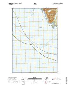
2017 · Mount Fairweather A-3 NE
USGS Topo · 1:25,000
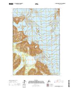
2017 · Mount Fairweather B-3 NE
USGS Topo · 1:25,000
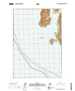
2017 · Mount Fairweather B-3 SW
USGS Topo · 1:25,000
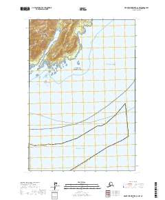
2017 · Mount Fairweather A-2 NW
USGS Topo · 1:25,000