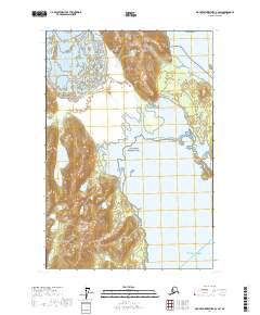
2017 Map of Mount Fairweather B-2 SW
USGS Topo · Published 2017About this map
Glacier Bay National Park dominates this coastal Alaskan landscape, where the ice of Brady Glacier meets the complex shoreline of the Pacific. This 2017 survey captures the meeting point of glacial activity and maritime geography, illustrating the transition from the high-elevation ice field down to the tidal waters of Dundas Bay and Taylor Bay. The map provides a detailed view of the contour intervals and wetland signatures along the rugged coastline that opens into the Gulf of Alaska. Because this area is largely preserved within the national park system, the topography remains a study in natural processes, showing the drainage patterns and shorelines as they existed at the time of the 2009 SPOT imagery and subsequent GNIS updates.
Find a feature on this map
11 named features on this map. Tap any name to fly to it.
Don’t see what you’re looking for? This feature index may not catch every label — zoom into the map to look around manually.
Map Details
Editions of this 2017 Mount Fairweather B-2 SW Map
This is the sole edition of this map. No revisions or reprints were ever made.
Other maps of this area

1948 · Mount Fairweather A-2
USGS Topo · 1:63,360

1948 · Mount Fairweather B-2
USGS Topo · 1:63,360

1951 · Mt Fairweather
USGS Topo · 1:250,000
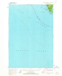
1961 · Mount Fairweather A-3
USGS Topo · 1:63,360
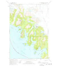
1961 · Mount Fairweather B-3
USGS Topo · 1:63,360

1961 · Mt Fairweather
USGS Topo · 1:250,000
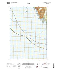
2017 · Mount Fairweather A-3 NE
USGS Topo · 1:25,000
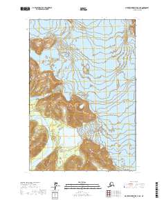
2017 · Mount Fairweather B-3 NE
USGS Topo · 1:25,000
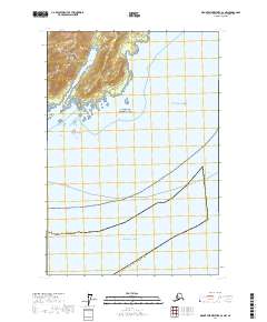
2017 · Mount Fairweather A-2 NW
USGS Topo · 1:25,000
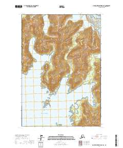
2017 · Mount Fairweather B-3 SE
USGS Topo · 1:25,000