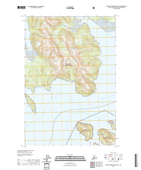
2021 Map of Mount Fairweather B-2 SE
USGS Topo · Published 2021About this map
Glacier Bay National Park and the Tongass National Forest meet in this coastal section of the Hoonah-Angoon Census Area. The landscape is dominated by the steep southern reaches of the Saint Elias Mountains, which descend sharply into the waters of Dundas Bay and Fern Harbor. This maritime environment is defined by its complex network of channels and islets, including the Inian Islands and Taylor Island. The nautical character of the region is evident in the naming of critical maritime passages like North Inian Pass and Middle Pass. Small, secluded inlets such as Inian Cove and the distinctively named The Hobbit Hole suggest the specialized local knowledge required to navigate this portion of the Alaskan coast. The map illustrates a wild intersection of mountain and sea, where landforms like Point Wimbledon act as prominent coastal markers.
Find a feature on this map
19 named features on this map. Tap any name to fly to it.
Don’t see what you’re looking for? This feature index may not catch every label — zoom into the map to look around manually.
Map Details
Editions of this 2021 Mount Fairweather B-2 SE Map
This is the sole edition of this map. No revisions or reprints were ever made.
Other maps of this area

1948 · Mount Fairweather A-2
USGS Topo · 1:63,360

1948 · Mount Fairweather B-1
USGS Topo · 1:63,360

1948 · Mount Fairweather B-2
USGS Topo · 1:63,360

1948 · Mount Fairweather A-1
USGS Topo · 1:63,360

1951 · Mt Fairweather
USGS Topo · 1:250,000

1954 · Mount Fairweather A-1
USGS Topo · 1:63,360

1961 · Mt Fairweather
USGS Topo · 1:250,000
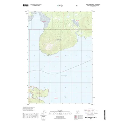
2017 · Mount Fairweather B-1 SW
USGS Topo · 1:25,000
2017 · Mount Fairweather B-1 NW
USGS Topo · 1:25,000
2017 · Mount Fairweather A-2 NW
USGS Topo · 1:25,000