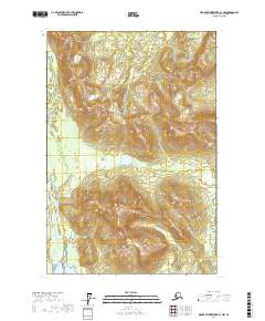
2017 Map of Mount Fairweather B-1 NW
USGS Topo · Published 2017About this map
Glacier Bay National Park dominates this section of the Alaskan wilderness, where the complex topography of the Hoonah-Angoon Census Area is mapped in fine detail. The prominent peak of White Cap Mtn rises above the glacial terrain, serving as a landmark in a region defined by steep elevation changes and dense wetlands. Flowing through the southwestern portion of the map, the Dundas River winds through the coastal lowlands, illustrating the drainage patterns that characterize this undeveloped landscape. This 2017 survey by the U.S. Geological Survey provides a precise view of the park's interior boundaries and the natural water systems that shape the coast, offering essential data for understanding the hydrology of this remote maritime environment.
Find a feature on this map
7 named features on this map. Tap any name to fly to it.
Don’t see what you’re looking for? This feature index may not catch every label — zoom into the map to look around manually.
Map Details
Editions of this 2017 Mount Fairweather B-1 NW Map
This is the sole edition of this map. No revisions or reprints were ever made.
Other maps of this area

1948 · Mount Fairweather B-1
USGS Topo · 1:63,360

1948 · Mount Fairweather B-2
USGS Topo · 1:63,360

1948 · Mount Fairweather C-1
USGS Topo · 1:63,360

1948 · Mount Fairweather C-2
USGS Topo · 1:63,360

1949 · Mount Fairweather C-1
USGS Topo · 1:63,360

1950 · Mount Fairweather C-2
USGS Topo · 1:63,360

1951 · Mt Fairweather
USGS Topo · 1:250,000

1961 · Mt Fairweather
USGS Topo · 1:250,000
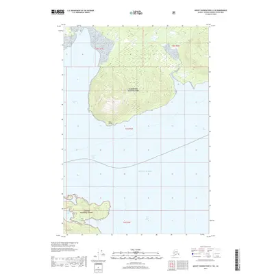
2017 · Mount Fairweather B-1 SW
USGS Topo · 1:25,000
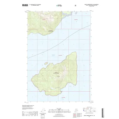
2017 · Mount Fairweather B-1 SE
USGS Topo · 1:25,000