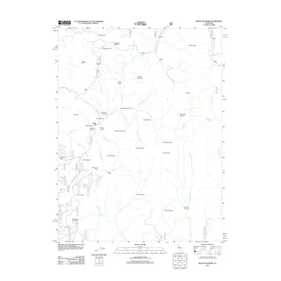
2012 Map of Mount Fillmore
USGS Topo · Published 2012About this map
Poker Flat and the small settlement of Skyhigh occupy this high-elevation landscape in Plumas County, where a network of forest roads and steep ravines traces a legacy of mountain activity. The terrain is defined by dramatic ridgelines and watercourses, including the Downie River and its various forks, which have carved deep features like Gold Canyon and China Ravine. This 2012 survey illustrates the remote character of the northern Sierra Nevada, where names like Mount Fillmore and Stafford Mountain dominate the skyline. Local history and genealogy researchers can locate specific high points like Democrat Peak and Bunker Hill, alongside named flats such as Tamarack Flat. The map provides a precise look at the junction of waterways like Little Grizzly Cr and Big Grizzly Cr, which are central to the drainage patterns of this mountain region.
Find a feature on this map
80 named features on this map. Tap any name to fly to it.
Don’t see what you’re looking for? This feature index may not catch every label — zoom into the map to look around manually.
Map Details
Editions of this 2012 Mount Fillmore Map
This is the sole edition of this map. No revisions or reprints were ever made.
Other maps of this area

1891 · Downieville
USGS Topo · 1:125,000

1893 · Downieville
USGS Topo · 1:125,000

1895 · Downieville
USGS Topo · 1:125,000

1896 · Downieville
USGS Topo · 1:125,000

1897 · Downieville
USGS Topo · 1:125,000

1937 · Blairsden
USGS Topo · 1:48,000

1943 · Blairsden
USGS Topo · 1:62,500
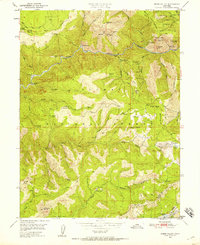
1950 · Onion Valley
USGS Topo · 1:24,000
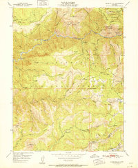
1951 · Onion Valley
USGS Topo · 1:24,000
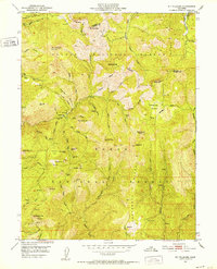
1951 · Mt. Fillmore
USGS Topo · 1:24,000