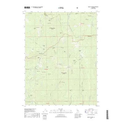
2018 Map of Mount Fillmore
USGS Topo · Published 2018About this map
Mount Fillmore and the surrounding high Sierra Nevada ridges dominate this landscape, which straddles the boundary between Plumas National Forest and Tahoe National Forest. The settlement of Poker Flat sits deep within the drainage of Canyon Creek, surrounded by a dense network of ravines and gulches such as China Ravine and Hog Gulch. This area's history of mineral extraction is evidenced by the Gibraltar Mine and various off-highway vehicle routes like the Craycroft Ridge OHV and Poker Flat OHV, which follow the difficult contours of the terrain.
Find a feature on this map
81 named features on this map. Tap any name to fly to it.
Don’t see what you’re looking for? This feature index may not catch every label — zoom into the map to look around manually.
Map Details
Editions of this 2018 Mount Fillmore Map
This is the sole edition of this map. No revisions or reprints were ever made.
Other maps of this area

1891 · Downieville
USGS Topo · 1:125,000

1893 · Downieville
USGS Topo · 1:125,000

1895 · Downieville
USGS Topo · 1:125,000

1896 · Downieville
USGS Topo · 1:125,000

1897 · Downieville
USGS Topo · 1:125,000

1937 · Blairsden
USGS Topo · 1:48,000

1943 · Blairsden
USGS Topo · 1:62,500
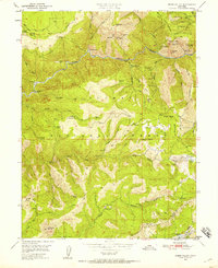
1950 · Onion Valley
USGS Topo · 1:24,000
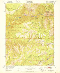
1951 · Onion Valley
USGS Topo · 1:24,000
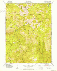
1951 · Mt. Fillmore
USGS Topo · 1:24,000