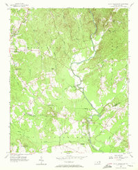
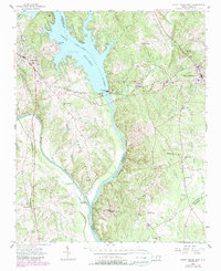
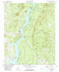
1956 Map of Mount Gilead East
USGS Topo · Published 1972This historical map portrays the area of Mount Gilead East in 1956, primarily covering Montgomery County as well as portions of Richmond County. Featuring a scale of 1:24000, this map provides a highly detailed snapshot of the terrain, roads, buildings, counties, and historical landmarks in the Mount Gilead East region at the time. Published in 1972, it is one of 3 known editions of this map due to revisions or reprints.
Find a feature on this map
38 named features on this map. Tap any name to fly to it.
Don’t see what you’re looking for? This feature index may not catch every label — zoom into the map to look around manually.
Map Details
Editions of this 1956 Mount Gilead East Map
3 editions found
Historical Maps of Mount Gilead Through Time
19 maps found
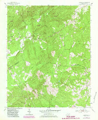
1956 Harrisville
Montgomery County, NC
1956 Mount Gilead East
Montgomery County, NC
1956 Mount Gilead West
Montgomery County, NC
1976 Harrisville
Montgomery County, NC

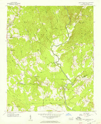
1976 Mount Gilead East
Montgomery County, NC
1977 Albemarle NE
Montgomery County, NC
1977 Albemarle SE
Montgomery County, NC
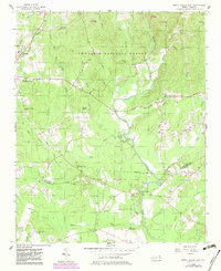
1981 Morrow Mountain
Montgomery County, NC
1983 Lovejoy
Montgomery County, NC
1994 Harrisville
Montgomery County, NC
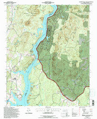
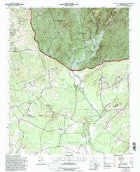
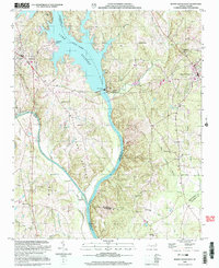
1994 Lovejoy
Montgomery County, NC
1994 Morrow Mountain
Montgomery County, NC
1994 Mount Gilead East
Montgomery County, NC
2002 Mount Gilead West
Montgomery County, NC

2022 Harrisville
Montgomery County, NC
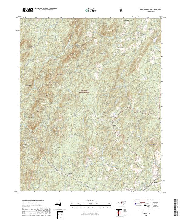
2022 Lovejoy
Montgomery County, NC
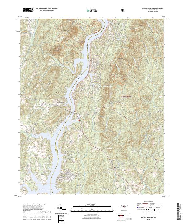
2022 Morrow Mountain
Montgomery County, NC
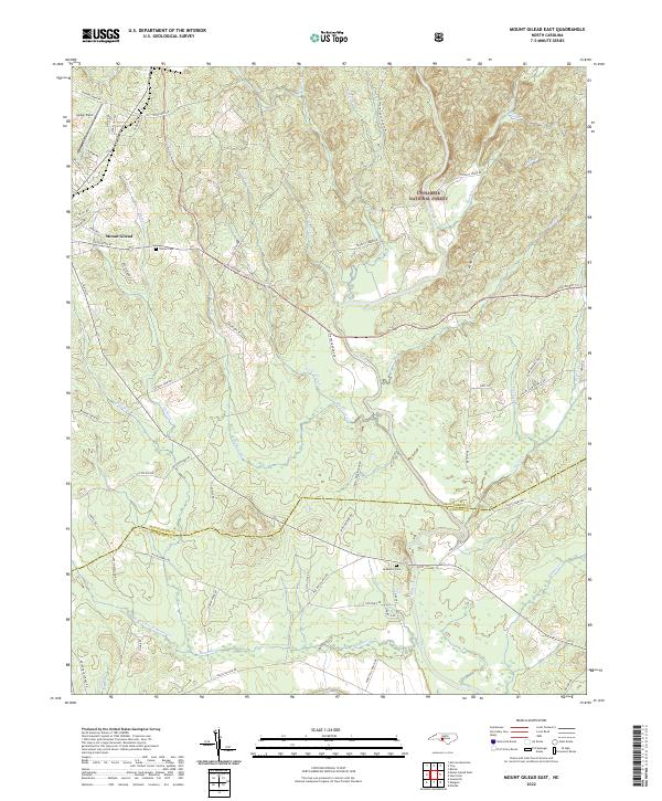
2022 Mount Gilead East
Montgomery County, NC
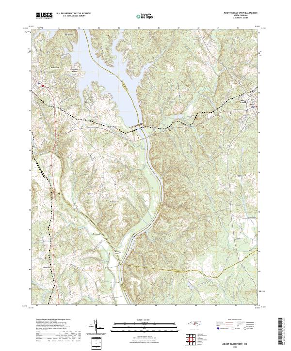
2022 Mount Gilead West
Montgomery County, NC