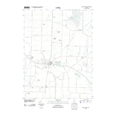
2010 Map of Mount Gilead
USGS Topo · Published 2010About this map
Mount Gilead serves as the focal point of this 2010 survey, showing the village's layout as the county seat of Morrow County. The village is defined by its central business district, the Morrow County Fairgrounds, and its relationship with Whetstone Creek. To the west, the village of Edison and the smaller settlement of Russell are connected by a network of rural roads and rail lines. The landscape is heavily marked by small family and community burial grounds, such as River Cliff Cemetery and Bryn Zion Cemetery, which provide significant data points for genealogists tracking local ancestry.
Find a feature on this map
81 named features on this map. Tap any name to fly to it.
Don’t see what you’re looking for? This feature index may not catch every label — zoom into the map to look around manually.
Map Details
Editions of this 2010 Mount Gilead Map
This is the sole edition of this map. No revisions or reprints were ever made.
Other maps of this area

1913 · Mount Gilead
USGS Topo · 1:62,500

1915 · Shauck
USGS Topo · 1:62,500

1915 · Marengo
USGS Topo · 1:62,500

1915 · Fredericktown
USGS Topo · 1:62,500

1916 · Mount Gilead
USGS Topo · 1:62,500

1943 · Shauck
USGS Topo · 1:62,500

1943 · Marengo
USGS Topo · 1:62,500

1943 · Mount Gilead
USGS Topo · 1:62,500

1943 · Fredericktown
USGS Topo · 1:62,500

1950 · Marion
USGS Topo · 1:250,000