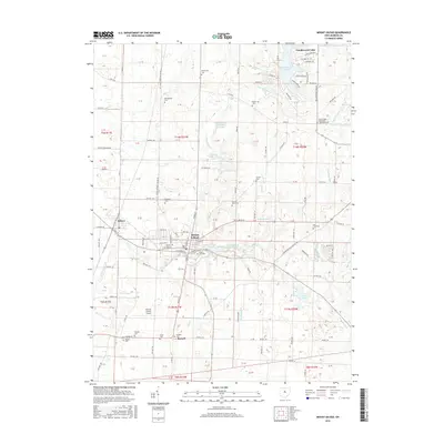
2016 Map of Mount Gilead
USGS Topo · Published 2016About this map
Mount Gilead serves as the central hub for this portion of Morrow County, where the street grid radiates from the intersection of Main and High Streets. The village is surrounded by several water features including the Mount Gilead Lakes and Mount Gilead Upper Lake, which are situated just east of the downtown area. To the west, the village of Edison sits near the banks of Whetstone Cr, showing the close proximity of these two neighboring settlements.
Find a feature on this map
119 named features on this map. Tap any name to fly to it.
Don’t see what you’re looking for? This feature index may not catch every label — zoom into the map to look around manually.
Map Details
Editions of this 2016 Mount Gilead Map
This is the sole edition of this map. No revisions or reprints were ever made.
Other maps of this area

1913 · Mount Gilead
USGS Topo · 1:62,500

1915 · Shauck
USGS Topo · 1:62,500

1915 · Marengo
USGS Topo · 1:62,500

1915 · Fredericktown
USGS Topo · 1:62,500

1916 · Mount Gilead
USGS Topo · 1:62,500

1943 · Shauck
USGS Topo · 1:62,500

1943 · Marengo
USGS Topo · 1:62,500

1943 · Mount Gilead
USGS Topo · 1:62,500

1943 · Fredericktown
USGS Topo · 1:62,500

1950 · Marion
USGS Topo · 1:250,000