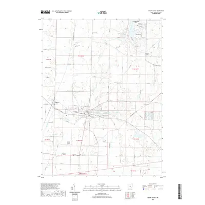
2019 Map of Mount Gilead
USGS Topo · Published 2019About this map
Mount Gilead serves as the seat of Morrow County, where the historic Morrow County Courthouse stands near the intersection of several regional routes. The village's street grid is flanked by the Mount Gilead Lakes and Mount Gilead Upper Lake, highlighting a landscape where water management and recreation intertwine. To the west, the village of Edison sits near the headwaters of Whetstone Creek, a waterway that defines much of the local drainage.
Find a feature on this map
92 named features on this map. Tap any name to fly to it.
Don’t see what you’re looking for? This feature index may not catch every label — zoom into the map to look around manually.
Map Details
Editions of this 2019 Mount Gilead Map
This is the sole edition of this map. No revisions or reprints were ever made.
Other maps of this area

1913 · Mount Gilead
USGS Topo · 1:62,500

1915 · Shauck
USGS Topo · 1:62,500

1915 · Marengo
USGS Topo · 1:62,500

1915 · Fredericktown
USGS Topo · 1:62,500

1916 · Mount Gilead
USGS Topo · 1:62,500

1943 · Shauck
USGS Topo · 1:62,500

1943 · Marengo
USGS Topo · 1:62,500

1943 · Mount Gilead
USGS Topo · 1:62,500

1943 · Fredericktown
USGS Topo · 1:62,500

1950 · Marion
USGS Topo · 1:250,000