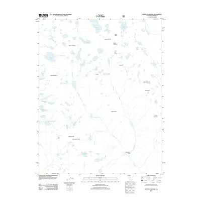
2012 Map of Mount Goddard
USGS Topo · Published 2012About this map
Mount Goddard dominates this high-altitude landscape within the Sierra Nevada, marking a significant drainage divide between the S Fork San Joaquin River and the Middle Fork Kings River. The terrain is characterized by a dense concentration of alpine basins and granite peaks, including the Ionian Basin and the striking Goddard Divide. This 2012 survey illustrates a complex hydrological network where glacial tarns like Wanda Lake, Martha Lake, and Tunemah Lake feed into descending creeks. Notable geographic features such as Muir Pass and the Enchanted Gorge highlight the difficult paths through these mountains. The naming of peaks like Mount Solomons, Scylla, and Charybdis reflects a classical influence on the nomenclature of this wilderness area.
Find a feature on this map
38 named features on this map. Tap any name to fly to it.
Don’t see what you’re looking for? This feature index may not catch every label — zoom into the map to look around manually.
Map Details
Editions of this 2012 Mount Goddard Map
This is the sole edition of this map. No revisions or reprints were ever made.
Other maps of this area

1903 · Tehipite
USGS Topo · 1:125,000

1905 · Tehipite
USGS Topo · 1:125,000

1912 · Mt. Goddard
USGS Topo · 1:125,000

1947 · Mariposa
USGS Topo · 1:250,000

1948 · Fresno
USGS Topo · 1:250,000

1948 · Mariposa
USGS Topo · 1:250,000

1948 · Mt. Goddard
USGS Topo · 1:62,500

1951 · Mt. Goddard
USGS Topo · 1:62,500

1952 · Mt. Goddard
USGS Topo · 1:62,500

1952 · Tehipite Dome
USGS Topo · 1:62,500