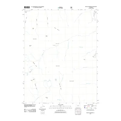
2011 Map of Mount Harvard
USGS Topo · Published 2011About this map
Mount Harvard and Mount Columbia dominate this high-altitude landscape in the Colorado Rockies, where mining history and alpine hydrology intersect. This survey documents a rugged network of drainage basins, including the Missouri Basin and Horn Fork Basin, which feed into major water bodies like Twin Lakes and Bear Lake. Evidence of the region's extractive past is preserved through several identified sites such as the Silver King Mine and Magdalene Mine, while the Windfield Cemetery in the northwest corner provides a direct link to the early communities that once worked these slopes.
Find a feature on this map
41 named features on this map. Tap any name to fly to it.
Don’t see what you’re looking for? This feature index may not catch every label — zoom into the map to look around manually.
Map Details
Editions of this 2011 Mount Harvard Map
This is the sole edition of this map. No revisions or reprints were ever made.
Other maps of this area

1889 · Leadville
USGS Topo · 1:125,000

1891 · Leadville
USGS Topo · 1:125,000

1935 · Mount Elbert
USGS Topo · 1:62,500

1938 · Mount Elbert
USGS Topo · 1:62,500

1939 · Mount Elbert
USGS Topo · 1:62,500

1942 · Leadville
USGS Topo · 1:125,000

1955 · Buena Vista
USGS Topo · 1:62,500

1955 · Mount Harvard
USGS Topo · 1:62,500

1956 · Montrose
USGS Topo · 1:250,000

1957 · Leadville
USGS Topo · 1:250,000