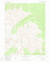
1982 Map of Mount Harvard
USGS Topo · Published 1983About this map
The high Sawatch Range is dominated by prominent summits including Mount Harvard, Mount Belford, and Mount Columbia in this early 1980s topographical study. The terrain is divided by the Continental Divide, separating the San Isabel National Forest in Chaffee County from the Gunnison National Forest. In the northwest, the settlement of Winfield remains a focal point for local history, located near the Winfield Cem and Clear Creek. The map records a legacy of high-altitude extraction, with prospects and operations like the Lienhart Mine and Magdalene Mine located near Magdalene Gulch. Alpine hydrology is well-defined, featuring Silver King Lake, the Twin Lakes, and numerous drainages like the Horn Fork and South Fork Pine Creek that carve through the steep glacial basins.
Find a feature on this map
51 named features on this map. Tap any name to fly to it.
Don’t see what you’re looking for? This feature index may not catch every label — zoom into the map to look around manually.
Map Details
Editions of this 1982 Mount Harvard Map
2 editions found
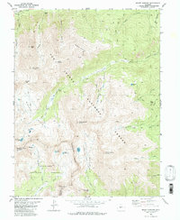
Other maps of this area

1889 · Leadville
USGS Topo · 1:125,000

1891 · Leadville
USGS Topo · 1:125,000

1935 · Mount Elbert
USGS Topo · 1:62,500

1938 · Mount Elbert
USGS Topo · 1:62,500

1939 · Mount Elbert
USGS Topo · 1:62,500

1942 · Leadville
USGS Topo · 1:125,000

1955 · Buena Vista
USGS Topo · 1:62,500

1955 · Mount Harvard
USGS Topo · 1:62,500

1956 · Montrose
USGS Topo · 1:250,000

1957 · Leadville
USGS Topo · 1:250,000