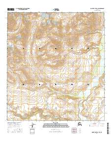
2016 Map of Mount Hayes B-4 SW
USGS Topo · Published 2016About this map
Rainy Mtn stands as a central high point in this glacial and fluvial landscape within the eastern Alaska Range. The map captures a complex drainage system where the Delta River flows northward along the eastern edge, collecting runoff from numerous alpine tributaries. The hydrology is dominated by the Rainy Creek system, including the Rainy Creek main stem, the N Fork Rainy Cr, and the W Fork Rainy Cr, which carve through the high-elevation terrain. To the south, the headwaters of Eureka Creek indicate the divide between major drainage basins. This area is characterized by significant topographic relief and intricate watercourses like Ann Cr, illustrating the primitive and undeveloped state of the region during this 2016 survey. The absence of roads or settlements emphasizes the remote, wilderness character of the mountains surrounding the Delta River corridor.
Find a feature on this map
12 named features on this map. Tap any name to fly to it.
Don’t see what you’re looking for? This feature index may not catch every label — zoom into the map to look around manually.
Map Details
Editions of this 2016 Mount Hayes B-4 SW Map
This is the sole edition of this map. No revisions or reprints were ever made.
Other maps of this area

1949 · Mount Hayes A-4
USGS Topo · 1:63,360

1949 · Mount Hayes A-5
USGS Topo · 1:63,360

1950 · Mount Hayes
USGS Topo · 1:250,000

1951 · Mount Hayes
USGS Topo · 1:250,000

1951 · Mt. Hayes B-5
USGS Topo · 1:63,360

1952 · Mount Hayes A-4
USGS Topo · 1:63,360

1952 · Mount Hayes B-4
USGS Topo · 1:63,360
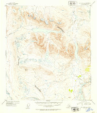
1952 · Mount Hayes A-5
USGS Topo · 1:63,360

1954 · Mount Hayes B-4
USGS Topo · 1:63,360

1955 · Mount Hayes
USGS Topo · 1:250,000