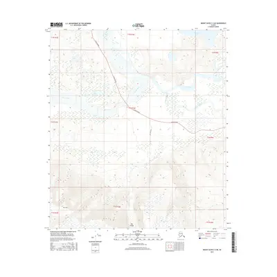
2016 Map of Mount Hayes C-2 NE
USGS Topo · Published 2016About this map
The Tanana River and its intricate drainage network dominate this Alaskan landscape, where glacial waters feed into the braided channels of the Johnson River and Johnson Slough. The Alaska Highway cuts a definitive line across the lowland plains, providing the primary corridor of transit through this interior region. To the south, the terrain rises sharply toward the foothills of the Alaska Range, anchored by the prominent elevation of Horn Mtn.
Find a feature on this map
20 named features on this map. Tap any name to fly to it.
Don’t see what you’re looking for? This feature index may not catch every label — zoom into the map to look around manually.
Map Details
Editions of this 2016 Mount Hayes C-2 NE Map
This is the sole edition of this map. No revisions or reprints were ever made.
Other maps of this area

1950 · Mount Hayes
USGS Topo · 1:250,000

1951 · Mount Hayes
USGS Topo · 1:250,000

1954 · Mount Hayes D-2
USGS Topo · 1:63,360

1954 · Mount Hayes D-1
USGS Topo · 1:63,360

1954 · Mount Hayes C-1
USGS Topo · 1:63,360

1955 · Mount Hayes C-2
USGS Topo · 1:63,360

1955 · Mount Hayes C-1
USGS Topo · 1:63,360

1955 · Mount Hayes D-2
USGS Topo · 1:63,360

1955 · Mount Hayes
USGS Topo · 1:250,000
2016 · Mount Hayes C-1 SW
USGS Topo · 1:25,000